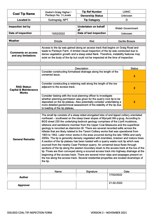
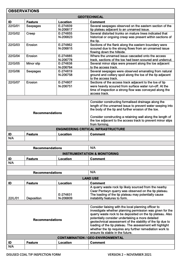
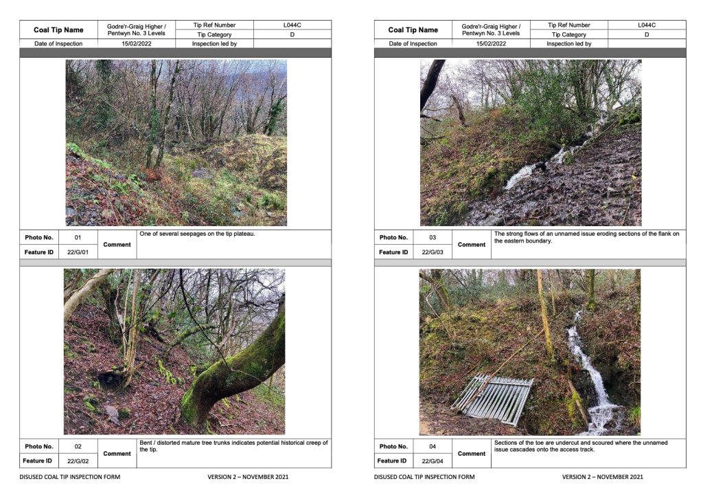
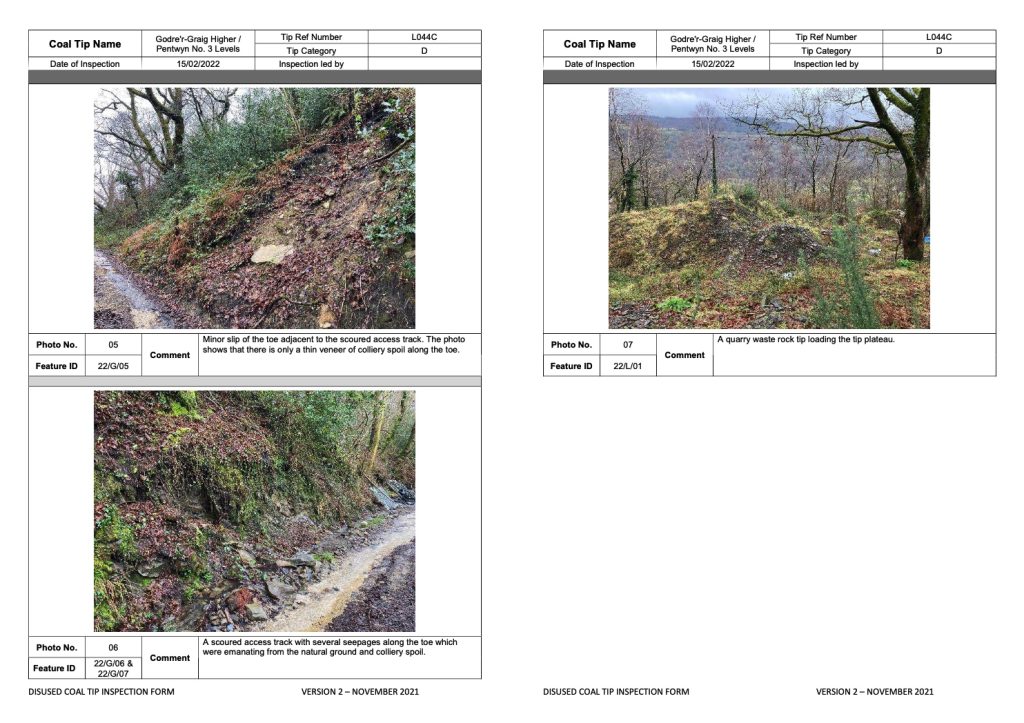
The small tip consists of a steep sided elongated lobe of end tipped colliery orientated northeast – southwest on the steep lower slopes of Mynydd Allt-y-grug. According to BGS sheet 230 the underlying bedrock geology comprises of the Llynfi mudstone, siltstone and sandstone member from the Upper Coal Measures and the superficial geology is recorded as diamicton till. There are several recorded adits across the hillside that are likely related to the Tareni Colliery works that was operational from 1903 to 1952. Later minor works in the area occurred during the late 1990s and early 2000s. The tip is generally densely vegetated with brambles, bracken and mature trees. A section of the tip plateau has been loaded with a quarry waste rock tip which was sourced from the nearby Cwar Pentwyn quarry. An unnamed issue flows through sections of the tip along the eastern boundary down to the access track at the toe of the tip. Flows are then conveyed along a scoured access track into highway drainage at the beginning of the access track. There are several minor slips and seepages present on the toe along the access track. Several residential properties are located downslope of the tip
A quarry waste rock tip likely sourced from the nearby Cwar Pentwyn quarry was observed on the tip plateau. The loading of the tip plateau may potentially cause instability features to form.
Consider liaising with the local planning officer to investigate whether planning permission was given for the quarry waste rock to be deposited on the tip plateau. Also potentially consider undertaking a more detailed geotechnical assessment of the stability of the tip due to loading of the tip plateau. The assessment will highlight whether the tip requires any further remediation work to ensure its stable in the future.